A chilly night with Bruce’s Garmin recording a temperature minimum of 1C.
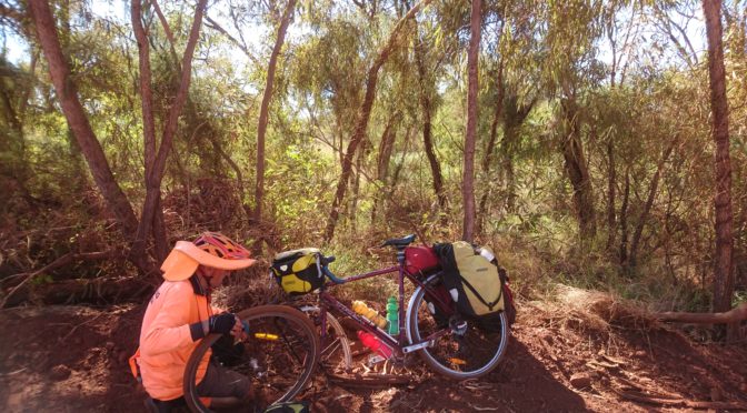
The ride started easily with a long downhill through Hamersley Range. Bruce thought he heard a squeak in his front wheel so investigated thoroughly by the side of the road.

Having a rest by the side of road about 10 km from Millstream NP turnoff a friendly aboriginal couple had advised us to ride on the ‘No Access’ part of the rail access road as it was smoother and they always drove there anyway. We did this for about ten kilometres before pulling back to the proper road to avoid having to explain ourselves to anyone official.

My idea of using the Australian Geological Survey maps to find bores for water didn’t work on this trip as the bores the maps show are generally defunct and abandoned. Presumably this is because the bores were to support cattle droving but as cattle go by truck now the bores aren’t needed. Lack of updating of the Geol Survey maps could get you into trouble though.
Also, no flats today!